ga_s2ls_intertidal_cyear_3_x084y143_2020--P1Y_final.stac-item
dataset of product ga_s2ls_intertidal_cyear_3
Indexed by odc_admin
,
created
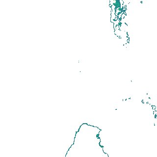
Region
x084y143
for
1st January 2020
Fields 🔗
creation_time
2024-03-28 11:43:46
dataset_maturity
final
eo_gsd
10.0
format
GeoTIFF
id
f3d4823a-31e3-4078-b541-8029d5593326
instrument
ETM_OLI_TIRS_MSI
intertidal_hat
1.61
intertidal_hot
1.32
intertidal_lat
-1.62
intertidal_lot
-1.01
intertidal_offset_high
8.88
intertidal_offset_low
19.06
intertidal_otr
2.33
intertidal_spread
72.06
intertidal_tr
3.23
intertidal_tr_class
mesotidal
label
•
lat
-20.743 to -20.421
lon
115.265 to 115.611
platform
landsat-7,landsat-8,sentinel-2a,sentinel-2b
product_family
intertidal
region_code
x084y143
time
2020-01-01 00:00:00 to 2020-12-31 23:59:59