ga_s2ls_intertidal_cyear_3_x195y141_2019--P1Y_final.stac-item
dataset of product ga_s2ls_intertidal_cyear_3
Indexed by odc_admin
,
created
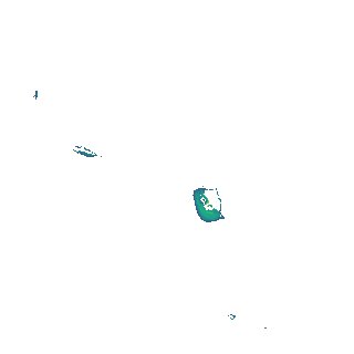
Region
x195y141
for
1st January 2019
Fields 🔗
creation_time
2024-04-02 02:41:37
dataset_maturity
final
eo_gsd
10.0
format
GeoTIFF
id
73376cf4-9643-4e17-844e-15604b7ded73
instrument
ETM_OLI_TIRS_MSI
intertidal_hat
3.18
intertidal_hot
3.13
intertidal_lat
-2.81
intertidal_lot
-1.64
intertidal_offset_high
0.87
intertidal_offset_low
19.58
intertidal_otr
4.77
intertidal_spread
79.55
intertidal_tr
5.99
intertidal_tr_class
macrotidal
label
•
lat
-21.159 to -20.835
lon
149.696 to 150.046
platform
landsat-7,landsat-8,sentinel-2a,sentinel-2b
product_family
intertidal
region_code
x195y141
time
2019-01-01 00:00:00 to 2019-12-31 23:59:59