ga_s2ls_intertidal_cyear_3_x177y184_2016--P1Y_final.stac-item
dataset of product ga_s2ls_intertidal_cyear_3
Indexed by odc_admin
,
created
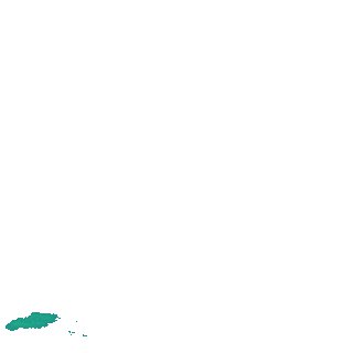
Region
x177y184
for
1st January 2016
Fields 🔗
creation_time
2024-04-02 22:52:40
dataset_maturity
final
eo_gsd
10.0
format
GeoTIFF
id
cacda08e-e125-4587-91db-c1bf30399151
instrument
ETM_OLI_TIRS_MSI
intertidal_hat
2.08
intertidal_hot
1.76
intertidal_lat
-1.94
intertidal_lot
-0.8
intertidal_offset_high
8.06
intertidal_offset_low
28.24
intertidal_otr
2.56
intertidal_spread
63.7
intertidal_tr
4.02
intertidal_tr_class
macrotidal
label
•
lat
-9.273 to -8.949
lon
142.999 to 143.304
platform
landsat-7,landsat-8,sentinel-2a,sentinel-2b
product_family
intertidal
region_code
x177y184
time
2016-01-01 00:00:00 to 2016-12-31 23:59:59