ga_s2ls_intertidal_cyear_3_x142y177_2016--P1Y_final.stac-item
dataset of product ga_s2ls_intertidal_cyear_3
Indexed by odc_admin
,
created
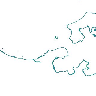
Region
x142y177
for
1st January 2016
Fields 🔗
creation_time
2024-04-02 22:15:53
dataset_maturity
final
eo_gsd
10.0
format
GeoTIFF
id
be5fec8d-268e-4f49-a5d1-ab1d1f3607bc
instrument
ETM_OLI_TIRS_MSI
intertidal_hat
1.32
intertidal_hot
0.95
intertidal_lat
-1.64
intertidal_lot
-1.26
intertidal_offset_high
12.62
intertidal_offset_low
12.74
intertidal_otr
2.21
intertidal_spread
74.64
intertidal_tr
2.96
intertidal_tr_class
mesotidal
label
•
lat
-11.845 to -11.546
lon
133.149 to 133.439
platform
landsat-7,landsat-8,sentinel-2a,sentinel-2b
product_family
intertidal
region_code
x142y177
time
2016-01-01 00:00:00 to 2016-12-31 23:59:59