ga_s2ls_intertidal_cyear_3_x141y178_2017--P1Y_final.stac-item
dataset of product ga_s2ls_intertidal_cyear_3
Indexed by odc_admin
,
created
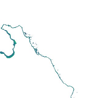
Region
x141y178
for
1st January 2017
Fields 🔗
creation_time
2024-04-02 12:42:16
dataset_maturity
final
eo_gsd
10.0
format
GeoTIFF
id
b6fb454d-d497-4c07-b0b0-ad4ffb1b3126
instrument
ETM_OLI_TIRS_MSI
intertidal_hat
1.21
intertidal_hot
0.82
intertidal_lat
-1.43
intertidal_lot
-1.24
intertidal_offset_high
14.67
intertidal_offset_low
7.4
intertidal_otr
2.06
intertidal_spread
77.93
intertidal_tr
2.64
intertidal_tr_class
mesotidal
label
•
lat
-11.552 to -11.254
lon
132.86 to 133.149
platform
landsat-7,landsat-8,sentinel-2a,sentinel-2b
product_family
intertidal
region_code
x141y178
time
2017-01-01 00:00:00 to 2017-12-31 23:59:59