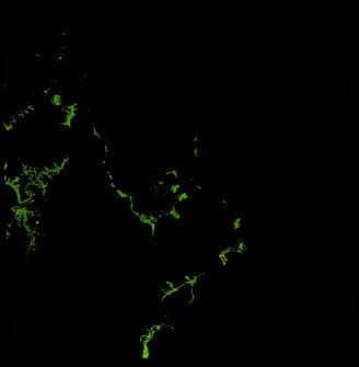
ga_ls_mangrove_cover_cyear_3_x33y43_2017-01-01_final
dataset of product ga_ls_mangrove_cover_cyear_3
Indexed by odc_writer
,
created
Region
x33y43
for
1st January 2017
Fields 🔗
cloud_cover
•
creation_time
2022-04-01 08:57:32
crs_raw
epsg:3577
dataset_maturity
final
format
GeoTIFF
id
a3a6d1b4-033a-41a3-9030-e13d35390f14
instrument
OLI_TIRS
label
ga_ls_mangrove_cover_cyear_3_x33y43_2017-01-01_final
lat
-12.659 to -11.742
lon
136.316 to 137.213
platform
landsat-8
product_family
mangrove_cover
region_code
x33y43
time
2017-01-01 00:00:00 to 2017-12-31 23:59:59
Related Datasets 🔗
ga_ls_mangrove_cover_cyear_3_x33y43_2017-01-01_final