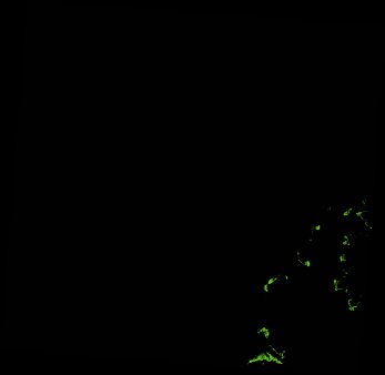
ga_ls_mangrove_cover_cyear_3_x17y38_2003-01-01_final
dataset of product ga_ls_mangrove_cover_cyear_3
Indexed by odc_writer
,
created
Region
x17y38
for
1st January 2003
Fields 🔗
cloud_cover
•
creation_time
2022-04-01 07:46:22
crs_raw
epsg:3577
dataset_maturity
final
format
GeoTIFF
id
a25afa70-2dfd-4c19-bdc3-7a33b096789d
instrument
ETM_TM
label
ga_ls_mangrove_cover_cyear_3_x17y38_2003-01-01_final
lat
-16.806 to -15.873
lon
122.12 to 123.078
platform
landsat-5,landsat-7
product_family
mangrove_cover
region_code
x17y38
time
2003-01-01 00:00:00 to 2003-12-31 23:59:59
Related Datasets 🔗
ga_ls_mangrove_cover_cyear_3_x17y38_2003-01-01_final