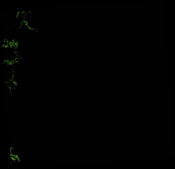
ga_ls_mangrove_cover_cyear_3_x38y37_2013-01-01_final
dataset of product ga_ls_mangrove_cover_cyear_3
Indexed by odc_writer
,
created
Region
x38y37
for
1st January 2013
Fields 🔗
cloud_cover
•
creation_time
2022-04-01 08:37:08
crs_raw
epsg:3577
dataset_maturity
final
format
GeoTIFF
id
9a8d9edb-da60-4d20-aadd-f34ce93cc941
instrument
ETM_OLI_TIRS
label
ga_ls_mangrove_cover_cyear_3_x38y37_2013-01-01_final
lat
-17.673 to -16.742
lon
140.985 to 141.949
platform
landsat-7,landsat-8
product_family
mangrove_cover
region_code
x38y37
time
2013-01-01 00:00:00 to 2013-12-31 23:59:59
Related Datasets 🔗
ga_ls_mangrove_cover_cyear_3_x38y37_2013-01-01_final