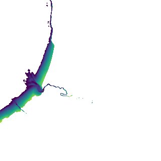
ga_s2ls_intertidal_cyear_3_x132y173_2017--P1Y_final.stac-item
dataset of product ga_s2ls_intertidal_cyear_3
Indexed by odc_admin
,
created
Region
x132y173
for
1st January 2017
Fields 🔗
creation_time
2024-04-02 12:29:27
dataset_maturity
final
eo_gsd
10.0
format
GeoTIFF
id
5e5f47cc-f66b-4dc9-ac01-41a60b18e3b0
instrument
ETM_OLI_TIRS_MSI
intertidal_hat
3.01
intertidal_hot
1.84
intertidal_lat
-3.57
intertidal_lot
-2.83
intertidal_offset_high
17.84
intertidal_offset_low
11.23
intertidal_otr
4.67
intertidal_spread
70.94
intertidal_tr
6.58
intertidal_tr_class
macrotidal
label
•
lat
-13.019 to -12.722
lon
130.258 to 130.551
platform
landsat-7,landsat-8,sentinel-2a,sentinel-2b
product_family
intertidal
region_code
x132y173
time
2017-01-01 00:00:00 to 2017-12-31 23:59:59