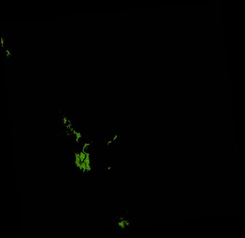
ga_ls_mangrove_cover_cyear_3_x43y37_2013-01-01_final
dataset of product ga_ls_mangrove_cover_cyear_3
Indexed by odc_writer
,
created
Region
x43y37
for
1st January 2013
Fields 🔗
cloud_cover
•
creation_time
2022-04-01 08:37:38
crs_raw
epsg:3577
dataset_maturity
final
format
GeoTIFF
id
58199937-4746-4d55-b67d-b1762c7b4488
instrument
ETM_OLI_TIRS
label
ga_ls_mangrove_cover_cyear_3_x43y37_2013-01-01_final
lat
-17.289 to -16.329
lon
145.449 to 146.439
platform
landsat-7,landsat-8
product_family
mangrove_cover
region_code
x43y37
time
2013-01-01 00:00:00 to 2013-12-31 23:59:59
Related Datasets 🔗
ga_ls_mangrove_cover_cyear_3_x43y37_2013-01-01_final