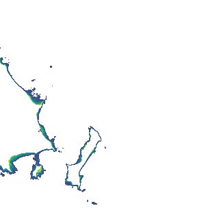
ga_s2ls_intertidal_cyear_3_x163y158_2020--P1Y_final.stac-item
dataset of product ga_s2ls_intertidal_cyear_3
Indexed by odc_admin
,
created
Region
x163y158
for
1st January 2020
Fields 🔗
creation_time
2024-04-02 05:38:20
dataset_maturity
final
eo_gsd
10.0
format
GeoTIFF
id
502b3129-9809-4153-8438-70a3a470285d
instrument
ETM_OLI_TIRS_MSI
intertidal_hat
2.08
intertidal_hot
1.91
intertidal_lat
-2.0
intertidal_lot
-1.98
intertidal_offset_high
4.06
intertidal_offset_low
0.43
intertidal_otr
3.89
intertidal_spread
95.51
intertidal_tr
4.08
intertidal_tr_class
macrotidal
label
•
lat
-17.189 to -16.882
lon
139.491 to 139.808
platform
landsat-7,landsat-8,sentinel-2a,sentinel-2b
product_family
intertidal
region_code
x163y158
time
2020-01-01 00:00:00 to 2020-12-31 23:59:59