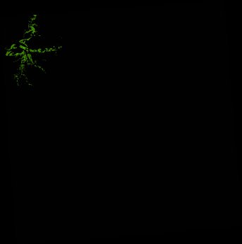
ga_ls_mangrove_cover_cyear_3_x39y41_2022-01-01_final
dataset of product ga_ls_mangrove_cover_cyear_3
Indexed by odc_writer
,
created
Region
x39y41
for
1st January 2022
Fields 🔗
cloud_cover
•
creation_time
2023-02-07 07:21:49
crs_raw
epsg:3577
dataset_maturity
final
format
GeoTIFF
id
3c23494f-a9fd-480c-ba64-e3255f2e9ece
instrument
ETM_OLI_TIRS
label
ga_ls_mangrove_cover_cyear_3_x39y41_2022-01-01_final
lat
-14.127 to -13.181
lon
141.61 to 142.552
platform
landsat-7,landsat-8
product_family
mangrove_cover
region_code
x39y41
time
2022-01-01 00:00:00 to 2022-12-31 23:59:59
Related Datasets 🔗
ga_ls_mangrove_cover_cyear_3_x39y41_2022-01-01_final