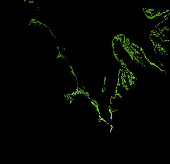
ga_ls_mangrove_cover_cyear_3_x18y37_2022-01-01_final
dataset of product ga_ls_mangrove_cover_cyear_3
Indexed by odc_writer
,
created
Region
x18y37
for
1st January 2022
Fields 🔗
cloud_cover
•
creation_time
2023-02-07 07:19:20
crs_raw
epsg:3577
dataset_maturity
final
format
GeoTIFF
id
270d1ec9-2f95-4644-9ee2-13be5af18364
instrument
ETM_OLI_TIRS
label
ga_ls_mangrove_cover_cyear_3_x18y37_2022-01-01_final
lat
-17.731 to -16.806
lon
122.952 to 123.911
platform
landsat-7,landsat-8
product_family
mangrove_cover
region_code
x18y37
time
2022-01-01 00:00:00 to 2022-12-31 23:59:59
Related Datasets 🔗
ga_ls_mangrove_cover_cyear_3_x18y37_2022-01-01_final