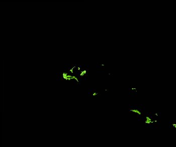
ga_ls_mangrove_cover_cyear_3_x29y20_2010-01-01_final
dataset of product ga_ls_mangrove_cover_cyear_3
Indexed by odc_writer
,
created
Region
x29y20
for
1st January 2010
Fields 🔗
cloud_cover
•
creation_time
2022-04-01 08:21:24
crs_raw
epsg:3577
dataset_maturity
final
format
GeoTIFF
id
257752d2-3344-4ec4-9533-5c51e71d7ca4
instrument
ETM_TM
label
ga_ls_mangrove_cover_cyear_3_x29y20_2010-01-01_final
lat
-32.575 to -31.706
lon
133.022 to 134.061
platform
landsat-5,landsat-7
product_family
mangrove_cover
region_code
x29y20
time
2010-01-01 00:00:00 to 2010-12-31 23:59:59
Related Datasets 🔗
ga_ls_mangrove_cover_cyear_3_x29y20_2010-01-01_final